GAZA’S RESISTANCE METRO
Western Media: The ‘HAMAS tunnels’


Evidence of Resistance Tunnels/ Testimonies / History

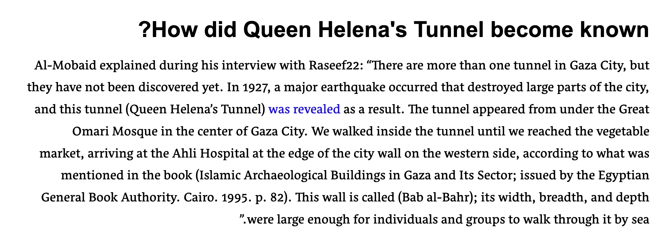
Testemony 1: Queen Helena travels through the tunnel under Omari Mosque to go swimming to Gaza’s shore


Leisure & emergency escapes route for civilians


Restoring heritage sites/ craftsmenship
Restoring heritage sites/ craftsmenship
Travel / checkpoint restrictions/ food deliveries/ education


Restoring heritage sites/ craftsmenship
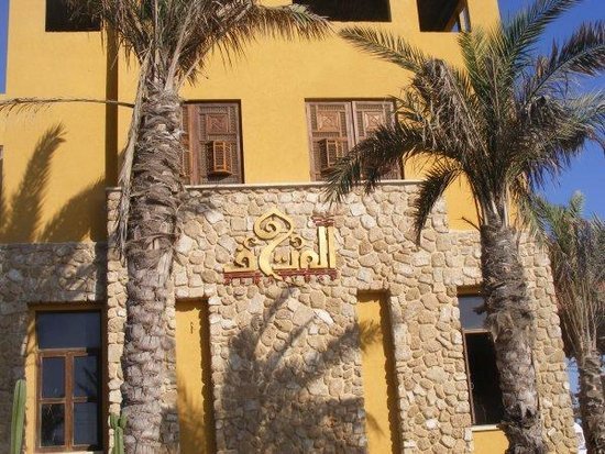
Testemony 2: Craftsmen from Egypt travelling via rafah tunnel to get to the Mathaf hotel in Old Town Gaza to work and restore Qamariya windows as well as deliver tools to Gazans to work on heritage site restorations
Testemony 3: Palestenian American writer al Al-Sirhid traveled through the tunnels along the Egyptian-Gazan border 10 years ago, when they were used for everything from family get-togethers to fast-food deliveries. The tunnels she knew were destroyed on the Egyptian side. She wrote about her experience in the tunnels and her views in a book called "Open Gaza: Architectures Of Hope."

Re-tracing/ Proposal:
A tunnel system connecting Gaza’s old city, the epi-center of trade, education & heritage to Egypt and the rest of Gaza


Rafah Egypt Border, tunnel opening - going up to 1km


Great Omari Mosque


St Porphyrius of Gaza


TUNNEL SYSTEM
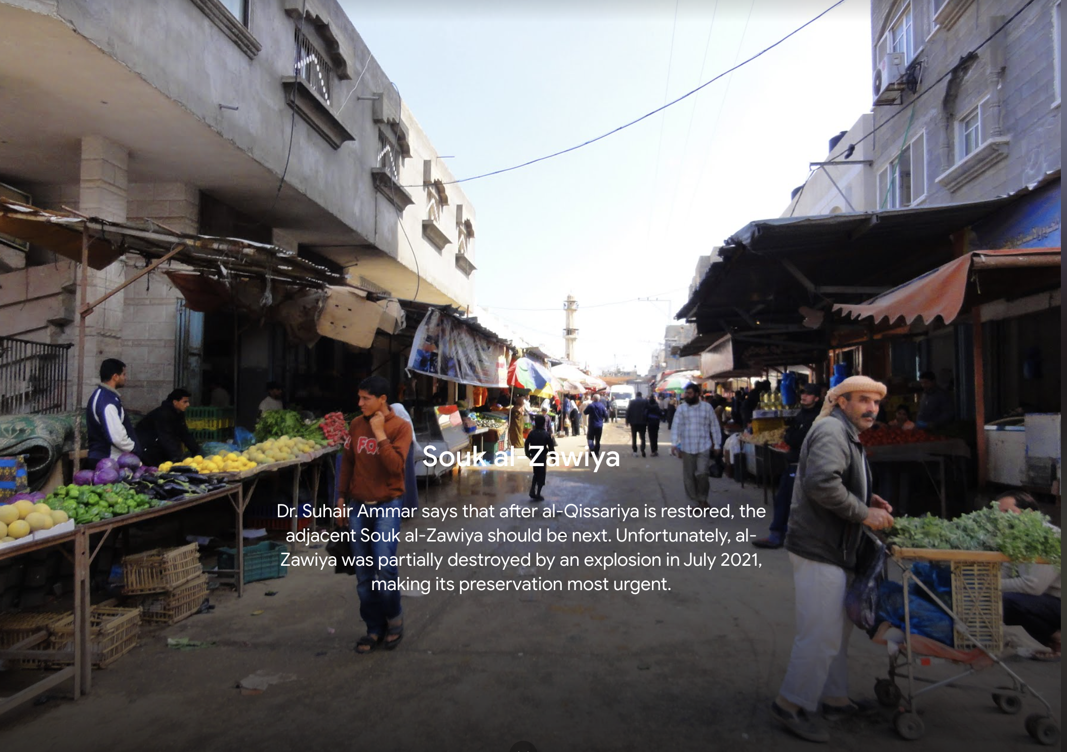
El Zawya Market
SIGHT ANALYSIS: GEOLOGY OF GAZA


Soil type across Gaza : How the sandy terrain of Gaza facilitates tunnels in contrast to terrain in the West Bank


Trade/ resources / economy
Testemony 4: Documented Tunnels from 2010-2020 via Rafah Border from Egypt/ Gazans explaining what they have heard/ seen


Cartography Old City: Typology of Buildings in Old Gaza


Souq Al-Qassariya (gold market)


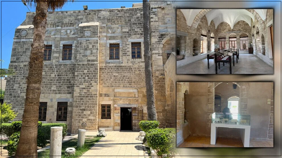
Qasr el Basha (palace) which became a school later on
Rocks/ Soil found in Gaza : The types of sandy or loamy soils common in Gaza make it easier to excavate tunnels in contrast to other parts of Palestine
The three main types of soil in the 365 sq. km. enclave are:
DETAILED Sections and Axonometric Drawings
A detailed PLAN cartography showing relationships between surface landmarks and underground systems, emphasising the integration of socio-cultural networks. Tunnel System Analyses and our Perspective Drawing shows tunnel depths, types (pedestrian, Perspective ( inside system)- showing functionality of tunnels tied to heritage.
Fish coming into Gaza through Egypt/ loading the trucks, Building a new tunnel ( tunnel owner with white cap) , Sheep for for livestock going through tunnels (2012)


1931 map of historical gaza